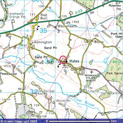
Image produced from the Ordnance Survey >Get-a-map< service. Image reproduced with kind permission of Ordnance Survey and >Ordnance Survey of Northern Ireland